Materials required: projector, whiteboard, large piece of graph paper, markers, rulers, three pieces of chart paper
Kingsclear First Nation is located along the Wolastoq (Saint John River), approximately 15 km west of the City of Fredericton, New Brunswick. The registered population of the Kingsclear First Nation is approximately 981. In this exercise, the name ‘Maliseet’ has been left to represent the people that elsewhere in this text are referred as Wolastoqewiyik.

The following is from a much longer article on the Kingsclear First Nation. The selections in these excerpts will allow students to reach four conclusions through an exercise in each of the following areas: math, writing, social studies and art.
History of the Maliseet First Nation at Kingsclear to 1950
(Abridged to Confederation and 1867)
By Andrea Bear Nicholas, Chair in Native Studies, St. Thomas University, June 2013
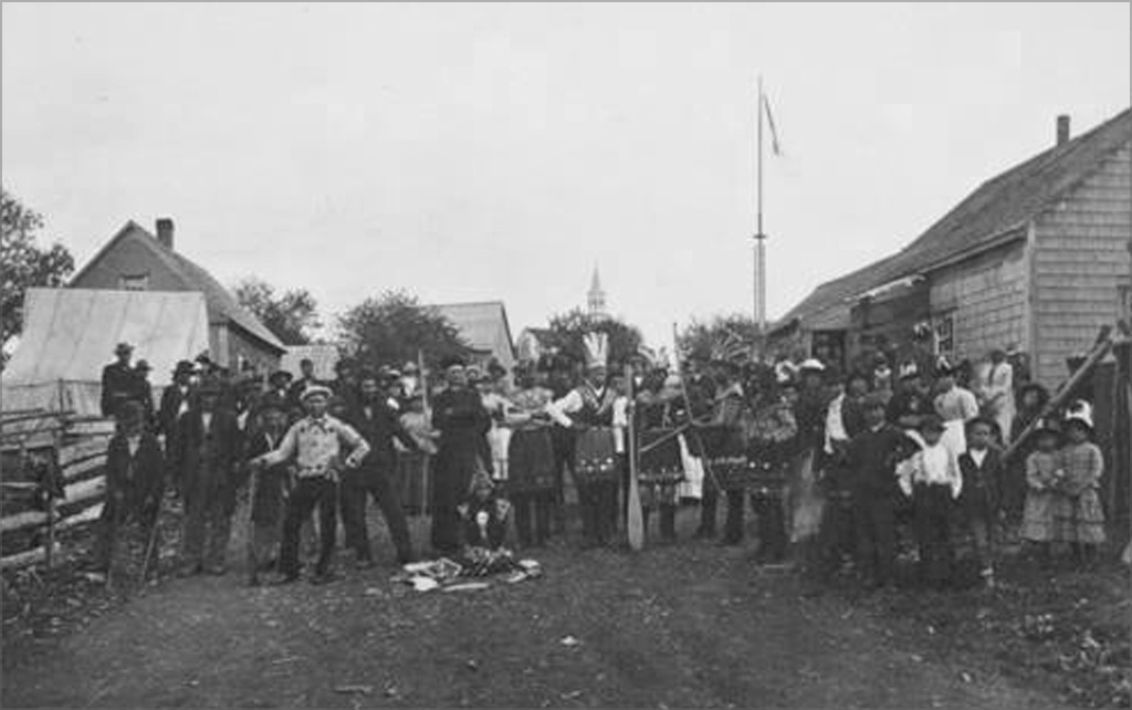
Prior to establishing ourselves at Kingsclear in 1795, our people lived in a village called Ekwpahak, meaning “Head of the Tide”, which was located a few miles downriver from Kingsclear on the southwest side of the Wolastoq (St. John River) at what is now called Island View. During the late spring and summer, we set up our wigwams on the adjacent island now known as Ekwpahak Island. There we speared salmon, bass and sturgeon, planted corn and gathered medicines and food, including fiddleheads, berries, butternuts, grapes and wild potatoes.
Since the 1730s, this village at Ekwpahak had been the seat of our government, and the place where all of our people gathered for annual meetings and celebrations each summer. On both sides of this village were Acadian settlements spread out between St. Anne’s Point (now Fredericton) and French Village (now Kingsclear). Just before the close of the so-called French and Indian War (1755–1760) English soldiers built a fort at the mouth of our river and, according to tradition, attacked and burned our village and church at Ekwpahak in the winter of 1758 about the same time that the Acadian village at St. Anne’s Point was attacked and burned.
In spite of a Royal Proclamation in 1763 which outlawed the surveying and taking of Indian lands without the consent of both the Crown and Indian leaders, English authorities in Halifax granted away over a million acres of our land in 1765 from the mouth of our river to well above Ekwpahak, entirely without our knowledge or consent. Perhaps to avoid revealing how much of our land had been granted away, English authorities in Halifax reserved about 700 acres for us around our village at Ekwpahak (500 on the mainland and over 200 on the island). In fact, they did so three times–in 1765, 1768 and 1779. But shortly after the Loyalists arrived on our river, after the close of the American Revolution in 1783, Judge Isaac Allen, a wealthy member of the Lieutenant Governor’s Executive Council in the newly established New Brunswick government, is said to have convinced our leaders to lease both the mainland and the island at Ekwpahak to him for his home and farm for £25 a year. This arrangement lasted until 1789 when Judge Allen somehow persuaded these leaders again to lease the land for a term of 999 years at the annual rate of £100. According to our tradition, this caused such a huge dispute that at least one chief and his family fled to Peskotomuhkati (Passamaquoddy).
In the following years, it appears that Judge Allen went to work to buy the land at Ekwpahak outright. Though Maliseets do not seem to have requested it, the government of New Brunswick issued a formal title to our chiefs once again in 1792 for this land, then in 1794 Allen arranged to buy the land from the chiefs for £2000. Unfortunately, when the chiefs went to close the deal they discovered that one quarter of the money (£500) was held back to be given to the priest to move all the Maliseets of Ekwpahak to Tobique (Neqotkuk). Of the remaining amount owing to our people (£1500), half was given to the chiefs in merchandise, and the other half, only £750, in cash. Not only did this deal seriously defraud the Maliseets out of very valuable land, but as a private purchase it was a clear violation of the Royal Proclamation.
Since the new priest, Father Francois Ciquard, was unable to convince the now homeless Maliseets to move to Tobique (Neqotkuk), he bought about 12 acres of land at Kingsclear for approximately £15. For some strange reason he listed “the French Roman Catholics” as the owners of the land, a fact our people were unaware of for more than a century. Though he claims to have gotten our people to build the first church at Kingsclear, a simple bark-covered structure, there is no record what he did with the remaining £485 that he received from the New Brunswick government for the sale of our land.
During the second decade of the 1800s Maliseet up and down the river began experiencing severe destitution as a result of the theft of their lands, the influx of settlers, the proliferation of sawmills that decimated the fishing, and the massive lumbering that destroyed forests and drove the game away. Unnamed epidemics, as well, seem to have taken their toll among our people during this period. In response the government of New Brunswick reluctantly provided emergency food, seed and clothing to us on several occasions. In an attempt to turn us into farmers, and perhaps as a reward for our neutrality and the service of some of our men on the march of the 104th Regiment (in 1813), the government of New Brunswick purchased another 300 acres for us adjoining our land at Kingsclear, and supplied us with seed, tools and assistance in farming.
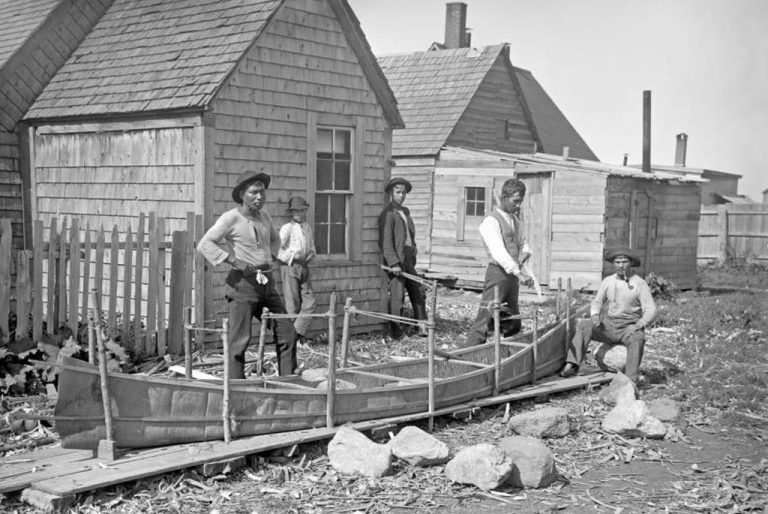
Throughout this era most of our people did indeed remain migratory moving downriver in the warmer months to trade with the settlers and to harvest food and raw materials for making canoes, baskets and other necessities. At the same time, our village at Kingsclear took on a more permanent appearance as more of us (40–50 families) now lived here year-round in square-framed, but still bark-covered dwellings. This more sedentary way of life came about because many of our families now engaged in farming, and because more women, children and Elders remained in the village throughout the winter since the men now had to go much deeper into the woods to hunt. So destitute did our people become, however, that in the mid 1820s large groups of Maliseets began showing up on the steps of Government House each New Year’s Day to seek aid. This practice soon turned into an annual party hosted by the Lieutenant Governor. Meanwhile, the first Commissioners for Indian Affairs (Indian Agents) were appointed to oversee a system of assistance to Indians, but only for those who were considered “sick and infirm.”

At the New Year’s gathering at Government House in 1830 Grand Chief Toma Francis asked if it was true that our lands were about to be taken from us. He was told that this was not true, but that was patently false. In fact, new regulations in 1827 called for public auctions to dispose of and settle so-called “Crown lands” (14 to 16 million acres at the time) which we had never surrendered, and by the early 1830s the land rush was on. Within a few short years, a large international company obtained 500,000 acres for a pittance in the heart of what remained of our hunting territory (at the headwaters of the Nackawic, Keswick, Nashwaak and Miramichi Rivers), and large numbers of immigrants were recruited to clear and settle what would become the town of Stanley in the centre of the purchase.
At the same time, a concerted effort was launched to convince our people to cease our migratory form of life. Those of us who lived mostly seasonally at Grand Lake and elsewhere were urged to settle permanently at Kingsclear where authorities hoped to subdivide the land and encourage private ownership. Predictably, our people rejected both ideas preferring communal ownership and the freedom to travel far and wide, as we had always done. Indeed, for more than a century we continued to camp up and down the river to collect wood and bark to make our canoes, tools and items to sell, which right had been assured to us by the English at a conference in 1778. Two campsites, one on the Brothers Islands near St. John and another at St. Mary’s (Sitansisk) across from Fredericton, became particularly important to us as places where we could sell our wares (baskets, brooms, snowshoes, moccasins, and beadwork) and find occasional employment as guides and labourers. Of all these sites, only the one on the Brothers Islands was formally reserved for our people prior to Confederation.
Since our poverty still seemed to be worsening in 1849, Maliseet leaders petitioned the government for some form of regular assistance, not just for the sick and infirm. They pointed out that the first Lieutenant Governor of the province had promised to reserve their hunting territories for them, but since that had not happened, they could no longer survive on hunting alone. Even farming had been no assurance of survival since crops had failed in many years. Still no regularized system of assistance was instituted. In fact, our poverty slowly deepened with the passage of a series of new laws beginning in the 1850s that increasingly curtailed what was left of our hunting and fishing rights.
Sadly, there is a continuing record throughout this period of petitions from our people describing our poverty and pleading for assistance from the New Brunswick government. Even the transfer of control over Indians and their lands to the Federal Government at the time of Confederation did not alleviate our distress.
Ever since the 1794 sale of our land at Ekwpahak, Kingsclear had been the home of the Maliseet Grand Chief and the seat of the traditional Maliseet government. It had also been the home of the sacred wampum belts that connected our people to the Wabanaki Confederacy and the Great Council Fire at Kahnawake.
Copyright © 2014 Kingsclear First Nation

Click here to download and print a copy of Activity 3 – History of Kingsclear. This is necessary in order to be able to carry out the multi-coloured activity.
Preparation
- Divide the class into four groups. Tell them they will be completing a case study of Kingsclear, looking at how that community changed over 150 years. In order to do this, they will need to make a graph, a list of consequences, a timeline and an illustration, which, together, should help them come to some conclusions.
- Get each group to appoint a spokesperson.
- Give the math group a large piece of graph paper with each group a piece of chart paper with a 35×20 rectangle outlined in marker.
- Give the writing group a piece of chart paper with two columns, one headed Pros and the other Cons.
- Give the art group a set of markers and a plain piece of chart paper.
- Give the social studies group a piece of chart paper with a timeline from 1770 to 1870, divided into decades. Have them place events chronologically along the timeline, writing down the date and event.
- Pass out a copy of the text with the areas highlighted in colour to each group. Read the article slowly — stopping at each highlighted section so that the appropriate group can record or graph what is being said (about 5 minutes per section).
- Have each group talk together and agree on what points they are going to share with the other groups (writing, math, art and social studies).
- Have each spokesperson report back to their group with further questions from the other groups that need clarification.
- At the end of the exercise, ask the class for some concluding statements about Kingsclear.
- Was life easy? What were some unfair things that happened to them over time? Over how much time? Why is Kingsclear so important to the Wolastoqewiyik?

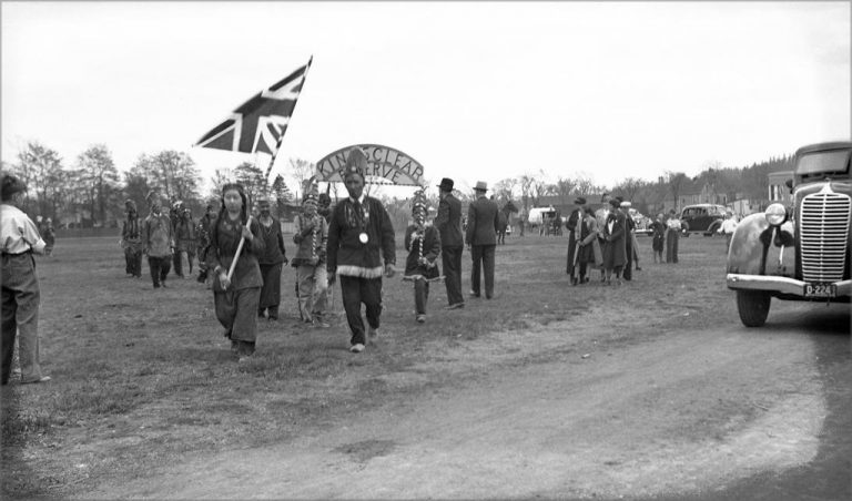
Madge Smith photo NB Public Archives P120-19-32


